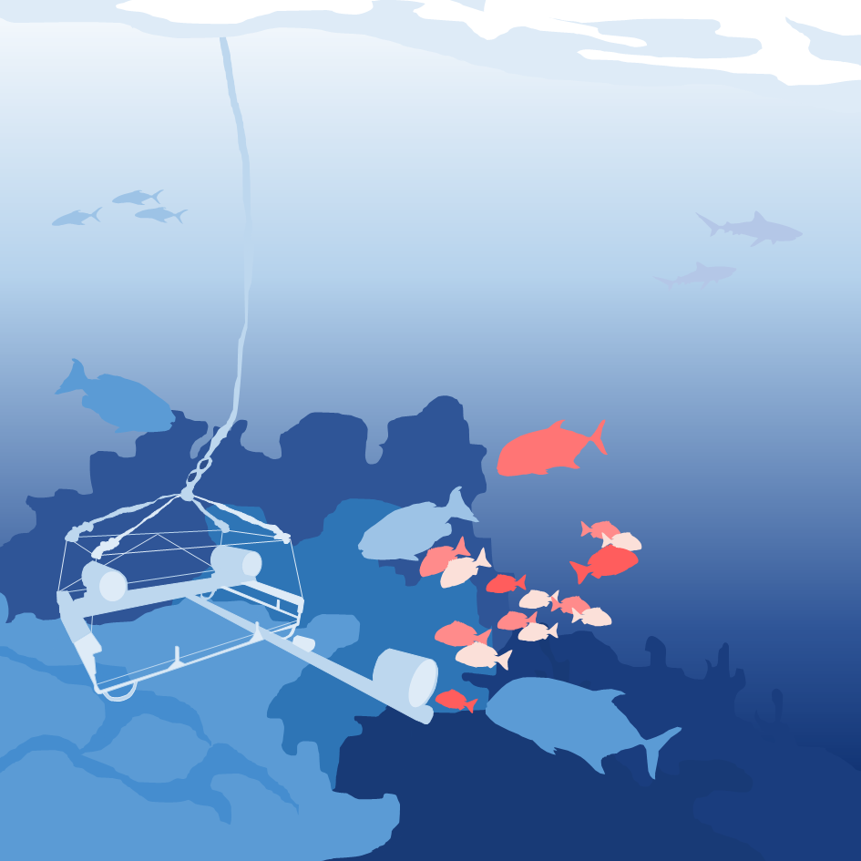
The Marine Remote Imagery Platform (MARIP) provides scientists the opportunity to conduct ecological research on benthic biota across the continental shelf of South Africa, from the shallow subtidal to depths of 250 m.
Marine Remote Imagery Platform (MARIP)
The platform enables data collection on both demersal and benthic fish populations as well as sessile and mobile invertebrate species.
Baited Remote Underwater Video Systems (BRUVs) and stereo-BRUVs samples collected from South Africa, Namibia and Southern Mozambique (samples from other Western Indian Ocean countries are not shown). South African Marine Protected Areas are shown in light blue boxes. Individual BRUVs deployments are depicted with orange circles. Samples include data collected up to the end of 2025.
Socio-economic implications
The Blue Economy requires robust verifiable data of the subtidal environment to ensure sustainable development of the marine fisheries, oil and gas, and transport and mining sectors.
Users
Over 100 students and researchers from 39 national and international organisations
Future
Extension of depth range capabilities
Artificial intelligence applications in footage analysis
Regional leadership and collaborative networks
Functionality
Largest and most comprehensive underwater visual platform in Africa
Remotely operated vehicles
Baited remote underwater stereo-video systems (stereo-systems)
Diver-operated camera systems
Drop cameras & Diver-operated camera systems
Stereo-BRUVs Lander
Visual access to previously unseen ecosystems
Data management for Western Indian Ocean footage
Innovation and development of new applications and equipment
Transformation & Capacity Development
Extensive postgraduate student use of resources
Developing a transformed cohort of next-generation marine technicians