By: Thami Wanda (NRF-SAIAB GeMaP Multibeam Instrument Technician and current PhD researcher) and Lucky Dlamini (NRF-SAIAB Communications and Stakeholder Relations Manager).
Due to the expanding global population and the growing focus on the blue economy, South Africa has recognised the necessity for marine spatial planning (MSP) to effectively address conflicts arising from the utilisation of marine and seabed resources by different industries.
A well-structured marine spatial plan offers a wide range of benefits encompassing ecological, social, and economic aspects. These benefits are achieved by mediating different conflicting interests of various economic drivers (such as commercial fishing, tourism, and mining) in order to prevent their activities from jeopardizing the sustainability of the environment. To create a comprehensive MSP framework, it is imperative to have access to high-resolution geospatial data that accurately documents and describes the seabed. However, South Africa stands out as one of the few African nations to have a fully approved and implemented MSP framework.
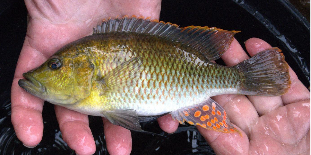
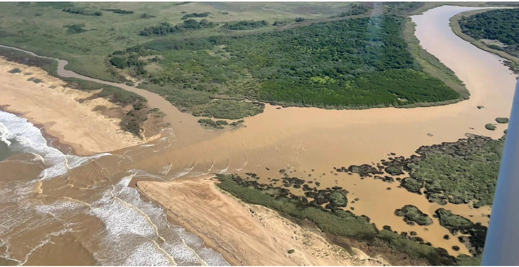
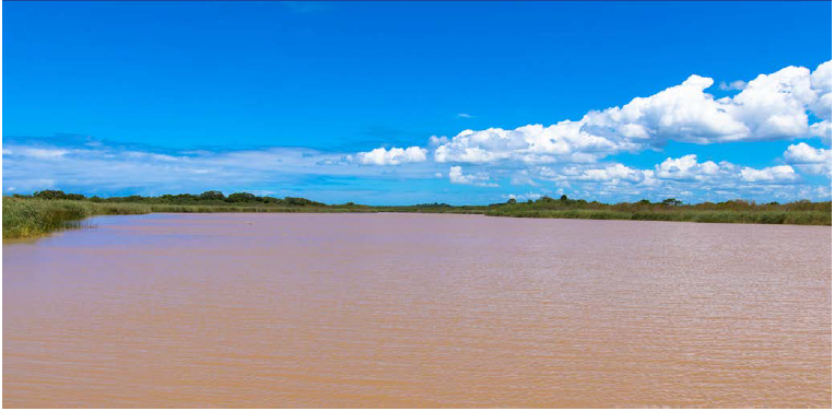
In this context, the NRF-South African Institute for Aquatic Biodiversity (NRF-SAIAB) research platform known as the Geophysics Mapping Platform (GeMaP), supported by the African Coelacanth Ecosystem Programme (ACEP), facilitated a project aimed at studying the geomorphology and habitats of the seabed. The primary goal of this project was to enhance the understanding of ecosystem functioning from a multidisciplinary perspective, while also improving the procedures and management of the marine space within the MSP framework. The project sought to reveal previously undocumented seascape in detail within the uThukela Banks MPA.
The Multibeam echo-sounder system has yielded a more detailed dataset compared to those obtained from earlier 2000s methods. This has provided the NRF-SAIAB researchers with the opportunity to compare two seabed mapping techniques: the Singlebeam echo-sounder versus the Multibeam echo-sounder system.
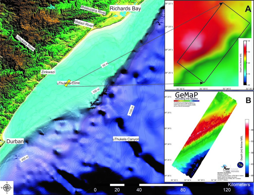
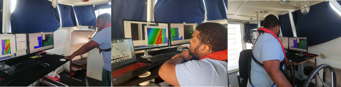
While collecting data about the ocean floor, GeMaP focused on areas between 40 and 100 meters deep. To do this, they used a special device called Seabat Reson 7101 MBES and a high performance navigation and motion system called SBG systems, designed to make mobile data collection easier for surveyors. The system consists of sensors that measure very low noise gyroscopes, low latency, and high resistance to vibrations.
During data collection, about 10% overlap between adjoining lines was maintained to ensure data integrity at the swath ends. The surveyors also measured the speed of sound in the water, periodically throughout the day, to identify any significant difference in the sound speed.
The raw data were then processed in HYPACK software to create detailed maps of the ocean floor (gridded at 3 meter cells). Furthermore, using programs like Golden Software Surfer and ESRI ArcMap to visualise, analyse, and interpret the data and the information derived from it.
This research is important for highlighting the crucial role that underwater mapping data plays in marine spatial planning and how it can be used in our quest for a Blue Economy and for understanding the oceans and the land connected to them.
Thami Wanda (NRF-SAIAB GeMaP Multibeam Instrument Technician and current PhD researcher) explained that; “seafloor mapping is not by any means a new phenomenon, we do have some underwater maps, however they are not yet very detailed in South Africa and Africa. Furthermore, the maps have not been used very much for studying where different underwater animals live and how the oceans work, apart from being used in geological and oceanography research work.” Thus, the context and application being used by NRF-SAIAB researchers is novel and will fill this fundamental gap in marine spatial planning and understanding of biological environment in terms of the geospatial context.
“This research will help us plan how we can sustainably use the ocean and improve our understanding of its biodiversity. This is a big deal because it affects things like energy, how the world is changing, and how people and societies interact with the environment. We want to increase our knowledge and manage ocean resources better. Our detailed underwater maps will help us keep an eye on changes in the ocean, pick the right places for things like finding new organisms or setting up renewable energy sites, and make sure we protect the ocean areas that are important for both fish and tourism,” said Thami Wanda.
Expected Impacts
The NRF-SAIAB research team hopes to expand knowledge and enable better management of marine resources with the seabed maps which will:
- Provide the foundation for global change monitoring,
- Enable efficient site selection for bioprospecting and industrial applications (renewable energy),
- Add value to society through better management of Marine Protected Areas which will increase productivity in the fisheries and tourism sectors.
This research helps with the Sustainable Development Goal (SDG) of taking care of life under the sea, known as SDG 14. It does this by collecting the bathymetry (depth) measurement data of water in oceans which describes the seabed upon which marine life exists. This information is important because it affects the water above it.
Therefore, this project has a big impact on many parts of the Blue Economy, and it also connects to other goals like Industry, Innovation, and Infrastructure (SDG 9), reducing poverty (SDG 1), creating good jobs and economic growth (SDG 8), using resources responsibly (SDG 12), dealing with climate change (SDG 13), and supporting life on land (SDG 15), especially when it comes to things like tourism and fishing in the ocean and along the coast.
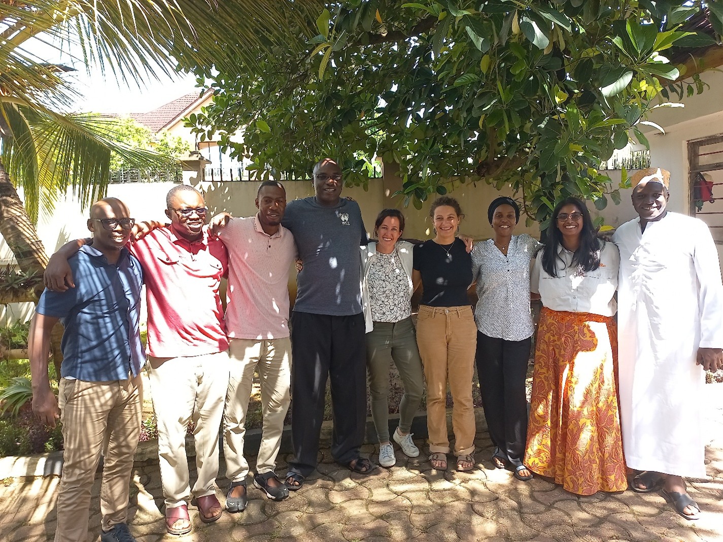
Research Team
The project consists of multiple collaborators and research institutions through the ACEP Smart Zones MPA project, including:
- Nelson Mandela University – Principal investigator Prof Mandy Lombard
- WildTrust
- South African Institute for Aquatic Biodiversity
- University of KwaZulu-Natal
- Council for Geoscience
- University of Exeter, UK
The geoscientific component of the Smart Zone Project has one Student, Mr Wanda T.F. (PhD).
Supervisor: Dr Wiles E.A. (SAIAB)
Co-Supervisors: Dr Cawthra H.C. (Council for Geoscience) and Dr de Wit A. (Nelson Mandela University)
While the project is coming to its finalisation stage at the end of 2023, it will move into Phase 2, using the created maps for site selection. This will involve the use of baited remote underwater video systems, remotely operated vehicles, sediment grabs, benthic sleds, and other related research methods.
A long term future plan for this project would include the joining of the mapped sites to fully map the observed palaeoshorelines (i.e. shoreline that existed in the geologic past).
____________________________
The full journal article is available from the South African Journal of Science: https://sajs.co.za/article/view/14320